Marine surveys
Blue Mackerel is conducting site investigations and surveys in its feasibility licence. These activities will inform project design and ensure we meet environmental approval and licensing requirements. Find out more about our activities, underway and planned.
Regulatory approvals
In February 2025, the project’s Metocean and Geotechnical Management Plan was approved by the Offshore Infrastructure Regulator (OIR). This makes Blue Mackerel one of the first offshore wind projects in Australia to secure such approval under the Offshore Electricity Infrastructure Act 2021 and the Offshore Electricity Infrastructure Amendment Regulations 2024.
An important part of the Management Plan is to engage with stakeholders and the community to better understand local feedback, ideas, insights and concerns.

Marine surveys
Careful work is underway to build a better understanding of local wind, wave, and seabed conditions within our feasibility licence area. These offshore investigations confirm site suitability for an offshore wind project and will guide future design, engineering and environmental assessments.
We’ve already successfully completed geophysical and preliminary geotechnical surveys to map the seafloor, measure water depths, understand soil composition, and verify existing infrastructure.
Active surveys:
Strict risk management controls are in place to manage the safe operation of all vessels and equipment during these surveys.
Metocean monitoring (started: 6 March 2025)
Purpose:
To understand the local ocean environment. This includes wind speeds, wave height, period and direction, as well as currents and tides.
What’s involved:
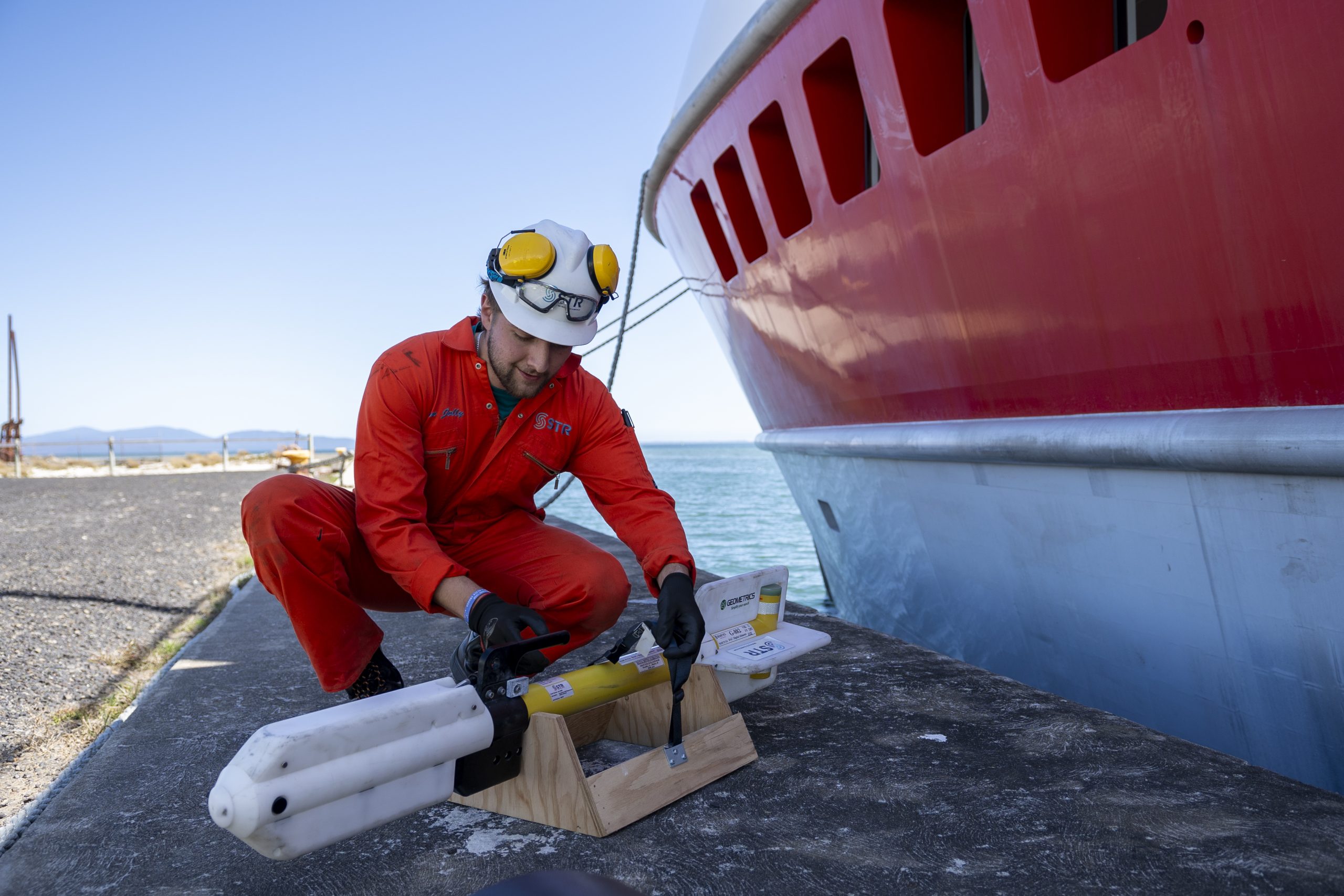
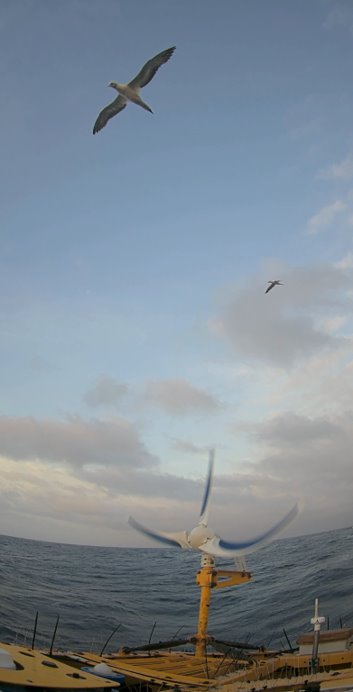
One Floating LiDAR (Floating Light, Detection and Ranging) buoy as well as a separate Directional Waverider (DWR) buoy have been deployed in two different locations within the project’s feasibility licence area. The Floating LiDAR buoy contains a device capable of measuring wind speeds at varying heights. It’s also fitted with other sensors which measure wind direction, waves, tides and currents across the survey area.
Approvals:
Commencement of this survey was approved under the project’s Management Plan.
Timing:
The moored equipment will remain in place for up to two years.
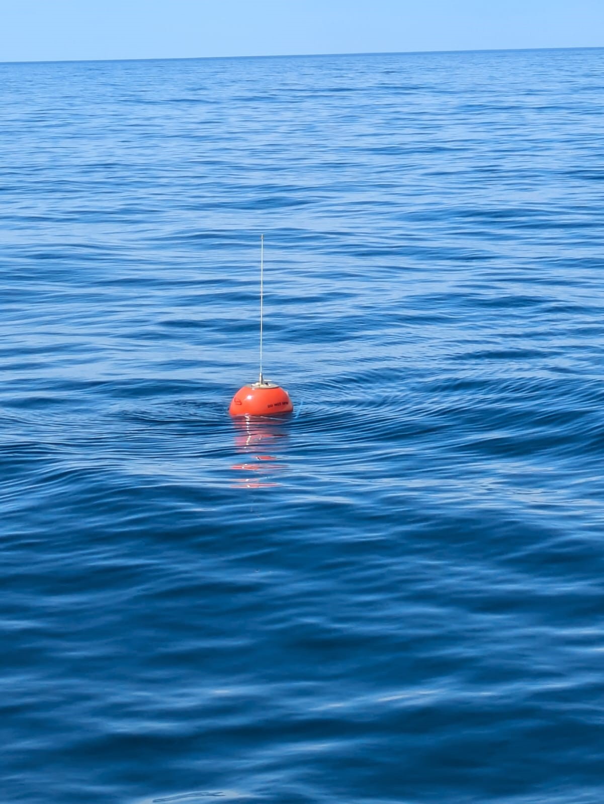
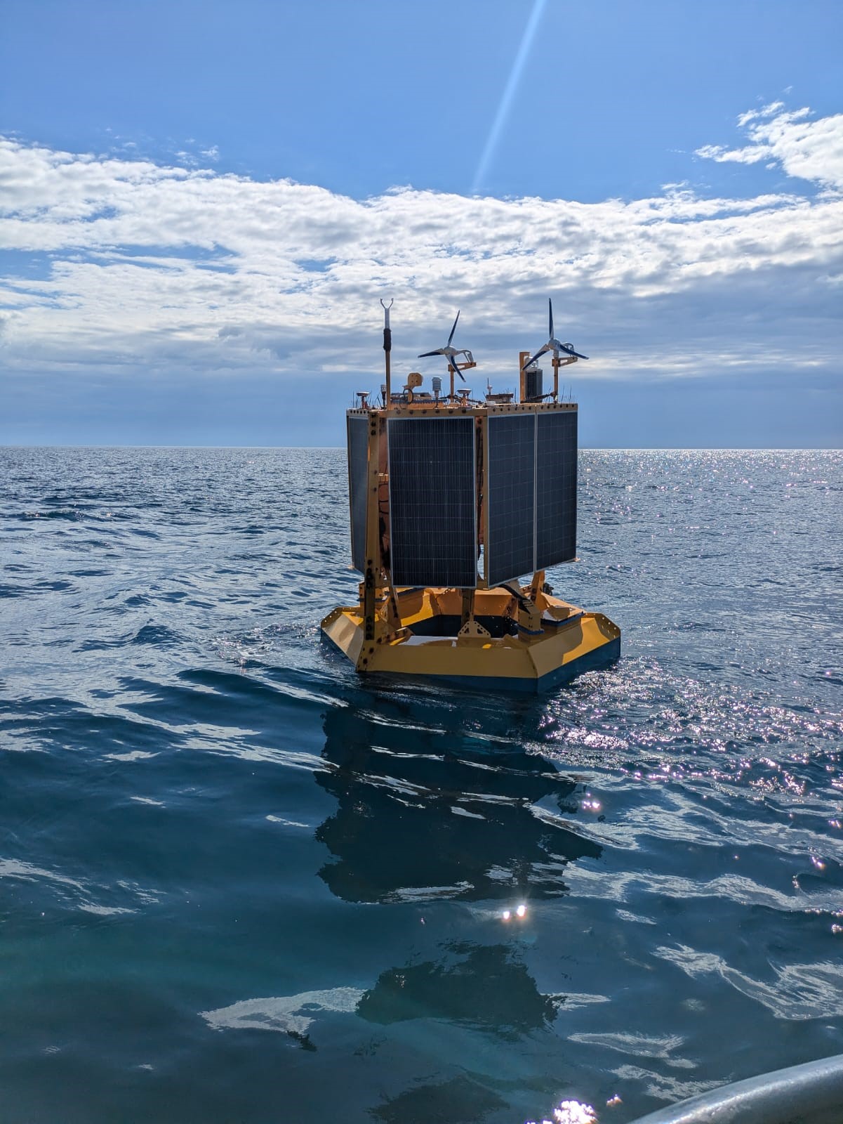
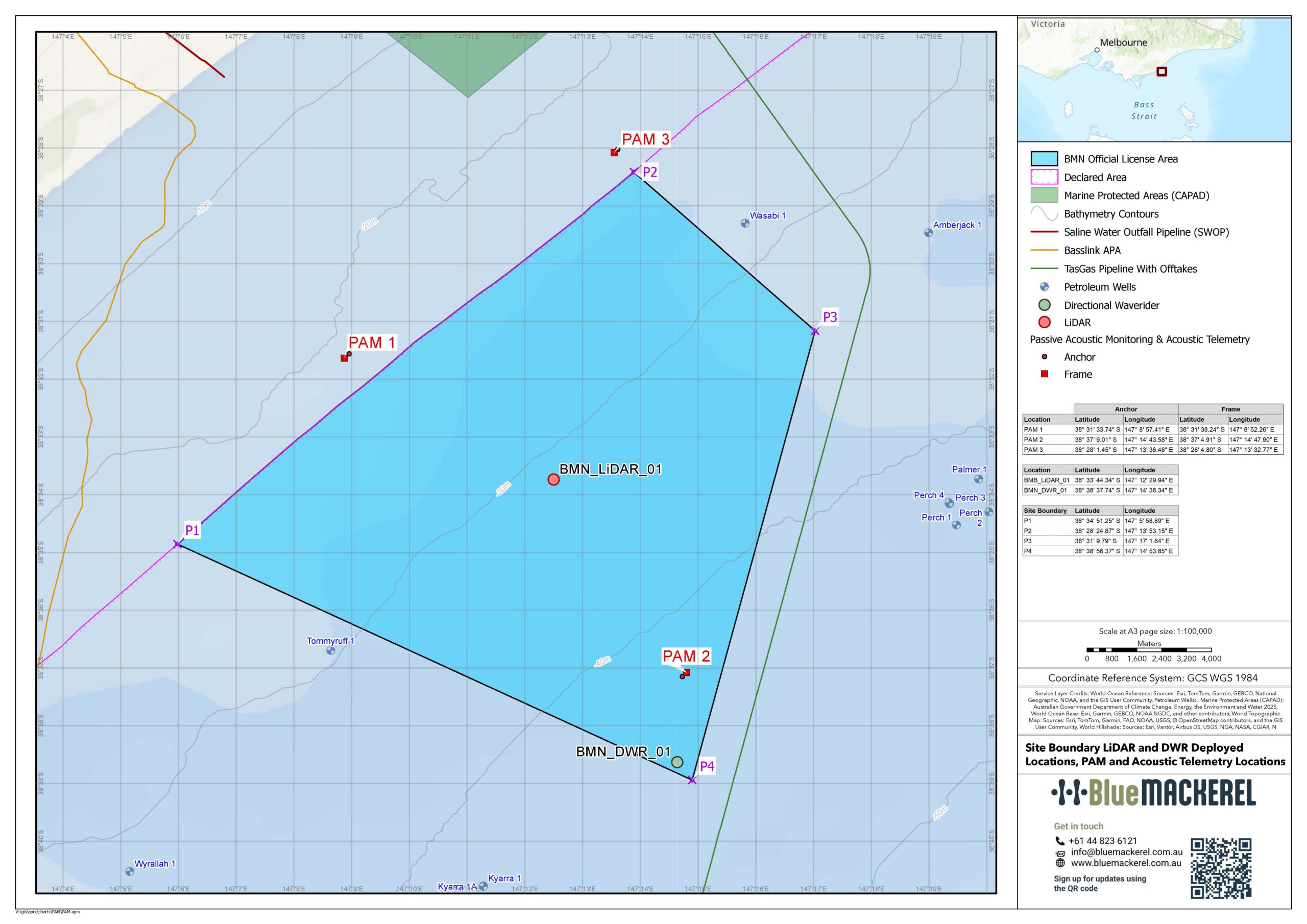
Deployed equipment locations map
As-deployed coordinates for our moored environmental monitoring equipment: Floating LiDAR, Directional Waverider (DWR) buoy and Passive Acoustic Monitoring (PAM) systems. A reminder that our moored equipment will remain in place for up to two years.
Completed surveys:
Geophysical survey (completed: February 2025)
Purpose:
To map the seabed and understand the depth and verify existing objects (such as cables and shipwrecks). This survey provided a baseline for future studies, so that changes in the seabed and sediment can be tracked over time.
What was involved:
To do the survey, one to two boats with sonar equipment (either attached or towed) moved around the survey areas and map the seabed using:.
- sound (low, medium and high frequency pulses) to map beneath the ocean floor
- magnetic surveys to investigate sub-ocean floor geology
- hydrographic surveys to ‘map’ the characteristics and contour of the seabed.
A magnetometer measured changes in the earth’s magnetic field and map the geological features.
Approvals:
This survey did not make contact with the seabed and did not require prior Management Plan approval.
Timing:
The geophysical survey started in November 2024 and was successfully completed in February 2025.
Geophysical survey (completed: March 2025)
Purpose:
A preliminary survey to understand the seabed geology. This included understanding the type of rock and material beneath the ocean floor.
What was involved:
Within the feasibility licence area at different locations, a specialist vessel drilled core samples. A grab sampler was used to collect sediment samples from the seabed. Further shallow boreholes collected samples from the area between the feasibility licence area and the shore, to enable assessment of a potential electricity cable route. Samples collected are now being analysed in a laboratory and will be used to inform project design.
Approvals:
Commencement of this survey was approved under the project’s Management Plan.
Timing:
In March 2025, our geotechnical survey vessel (Fugro Mariner) undertook a campaign in the project’s feasibility licence area. Activities were also undertaken in state waters (under Marine and Coastal Act 2018 consent).
Our geotechnical campaign:
Hear from Philip Beier, our EPCI Director about why kicking off (and wrapping up) our geotechnical investigations was such an important milestone for the Blue Mackerel Project.
Impact management
The impacts and risks of the marine surveys are expected to be low. Strict risk management controls are in place to manage the safe operation of all vessels and equipment during these surveys.
Please get in touch with our team if you require assistance to review this information or have any questions.